

Oregon Outback 2017 Edition
It’s been 3 years since the first Oregon Outback. I’ve done the ride a couple times prior to this outing at a relatively fast pace completing the ride in under 3 days previously. This year I had planned to ride it with my wife, Sam. Instead of pushing ourselves to the limits we instead took our time and really enjoyed the route. This would be the biggest ride my wife has done and I wanted to make sure everything went smooth. We’d plan to complete the ride in six days.
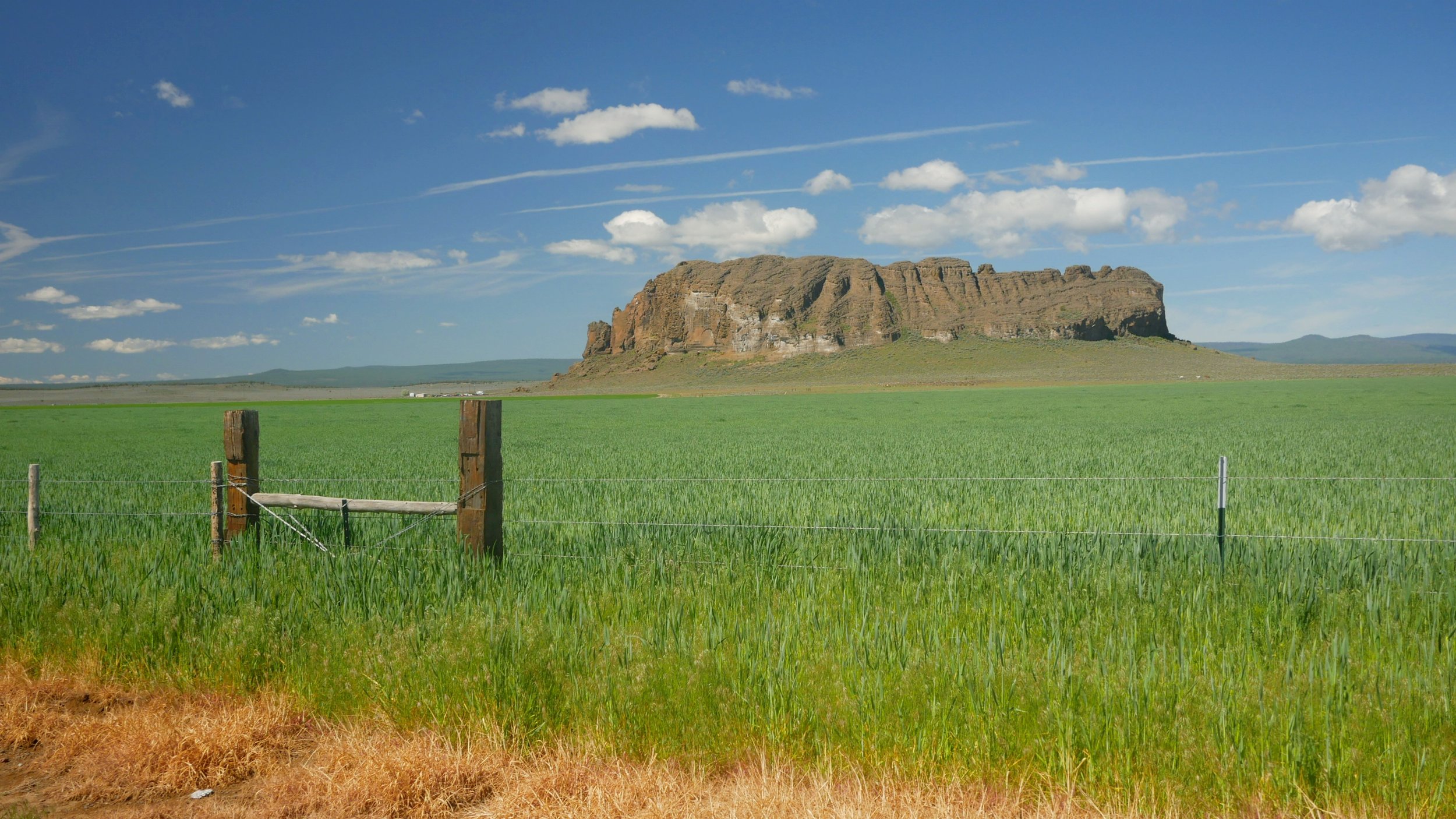
The Oregon Outback is a 360 mile bike-packing route that starts in Klamath Falls, OR and ends at Deschutes River State Park along the Columbia River. The route travels through Oregon’s backcountry on mostly gravel roads. Services and water are limited so careful planning is required.
For more route details visit Oregon Bikepacking. You can view and download the GPS route. See where the refuel points are at and recommended places to camp.
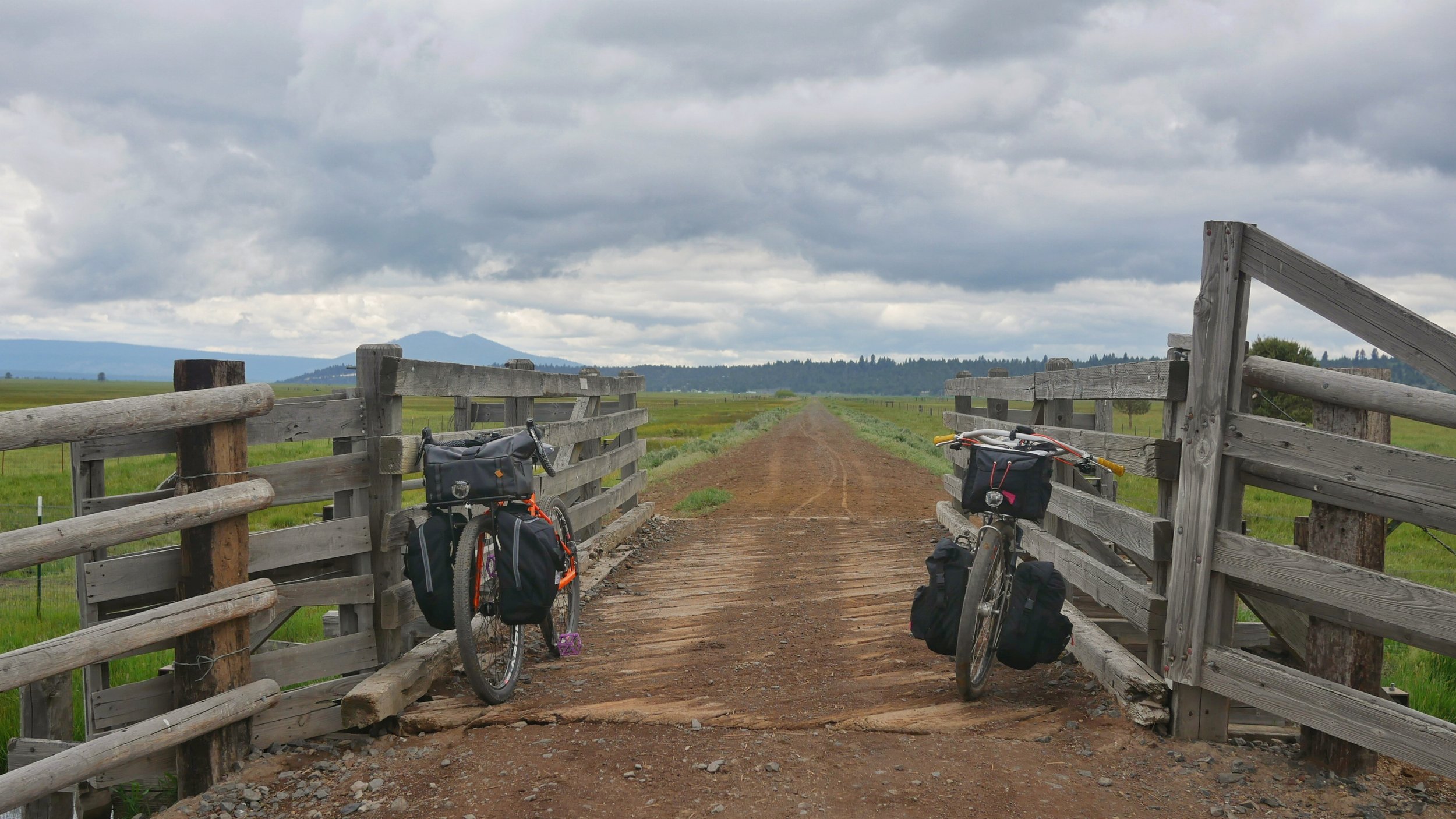
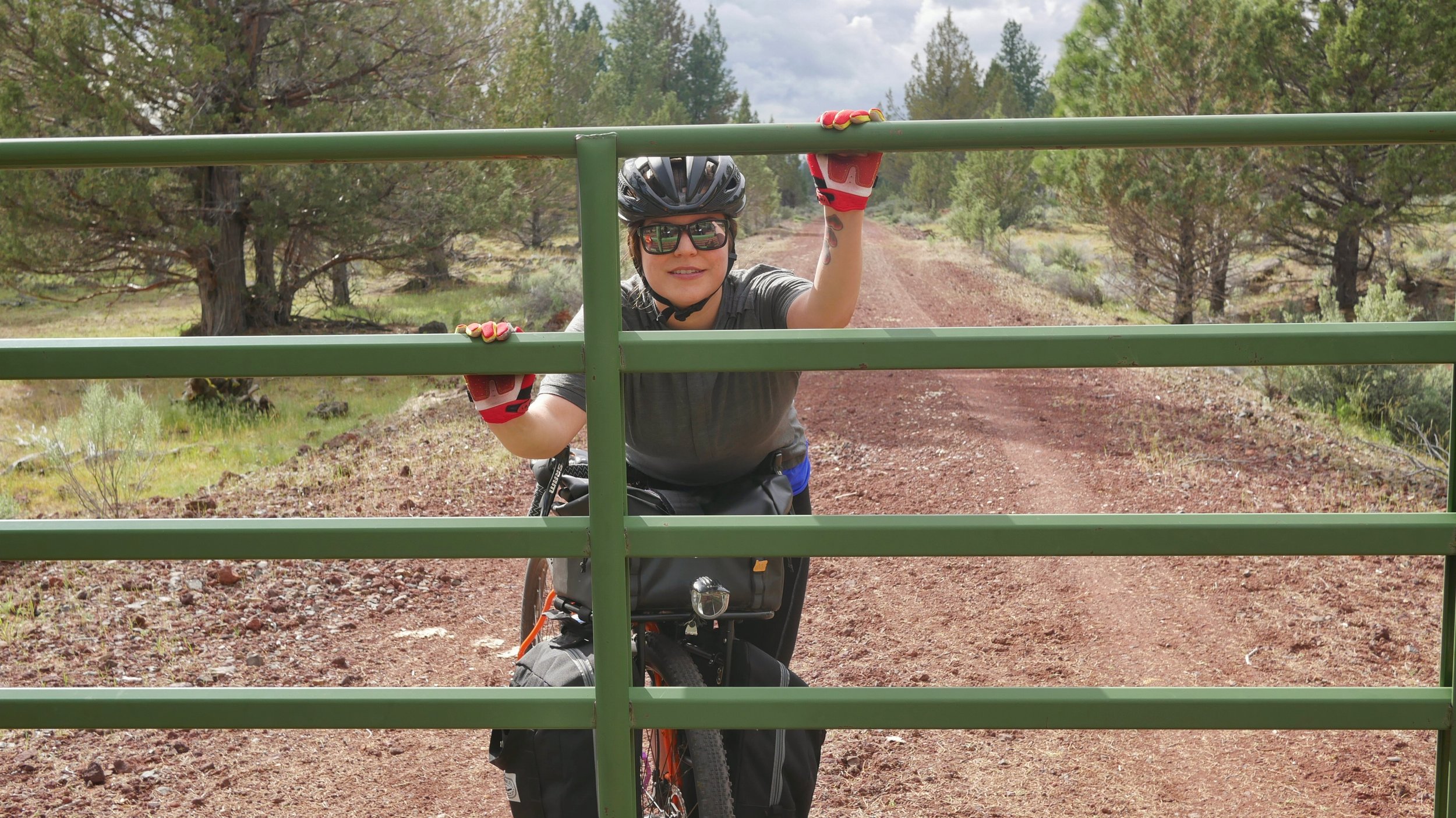
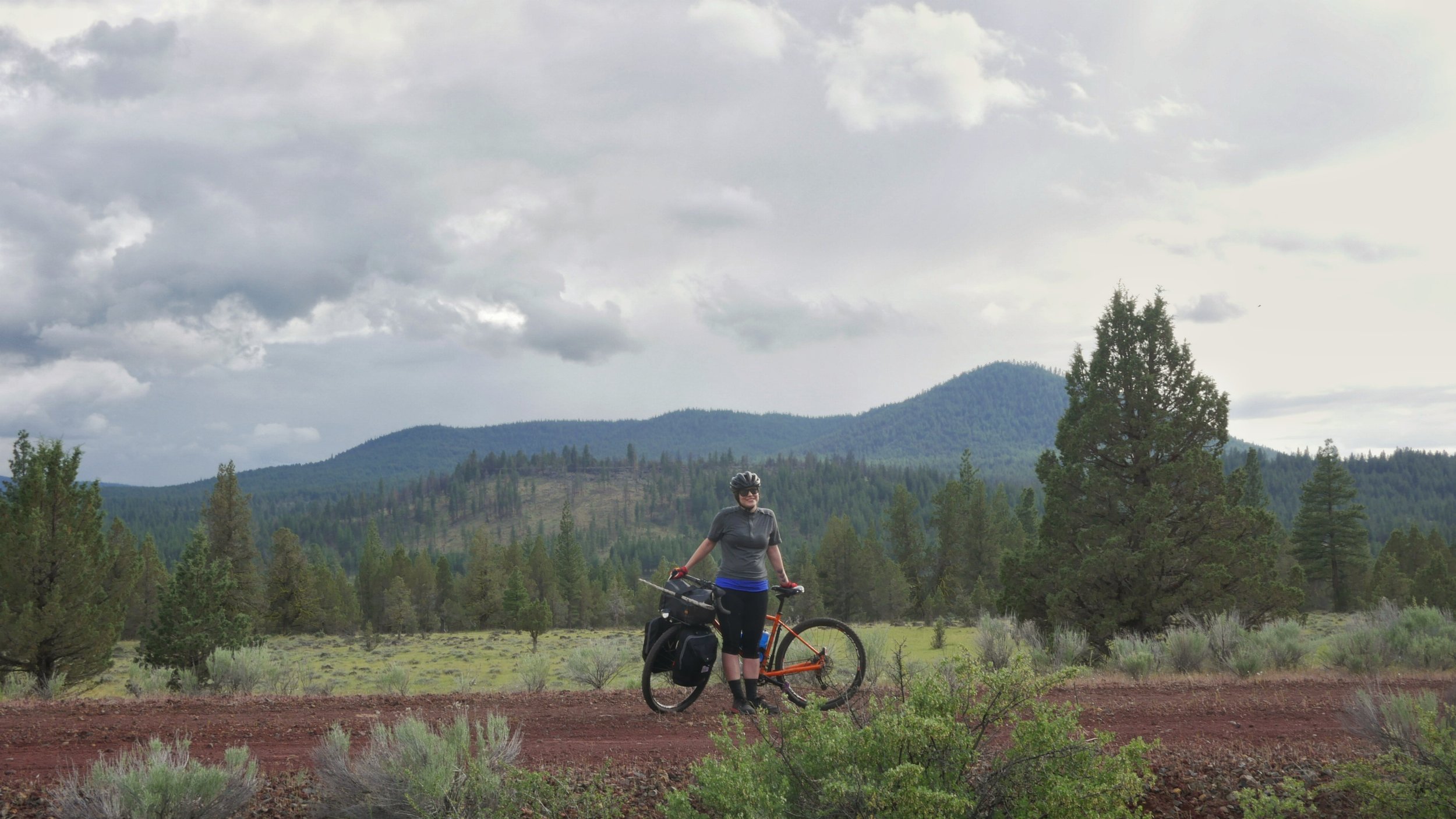
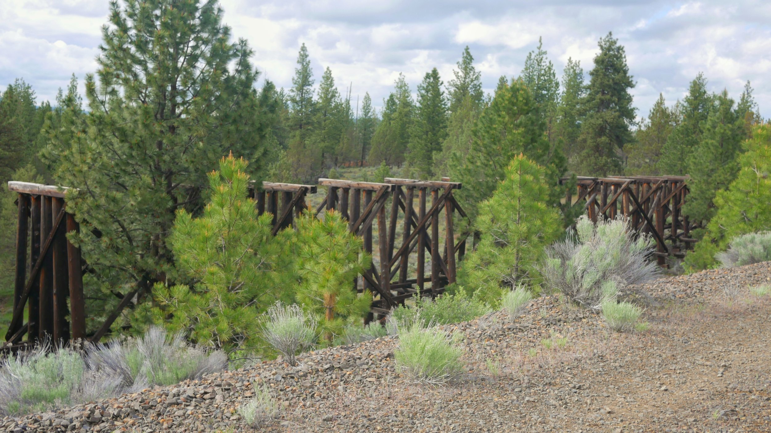
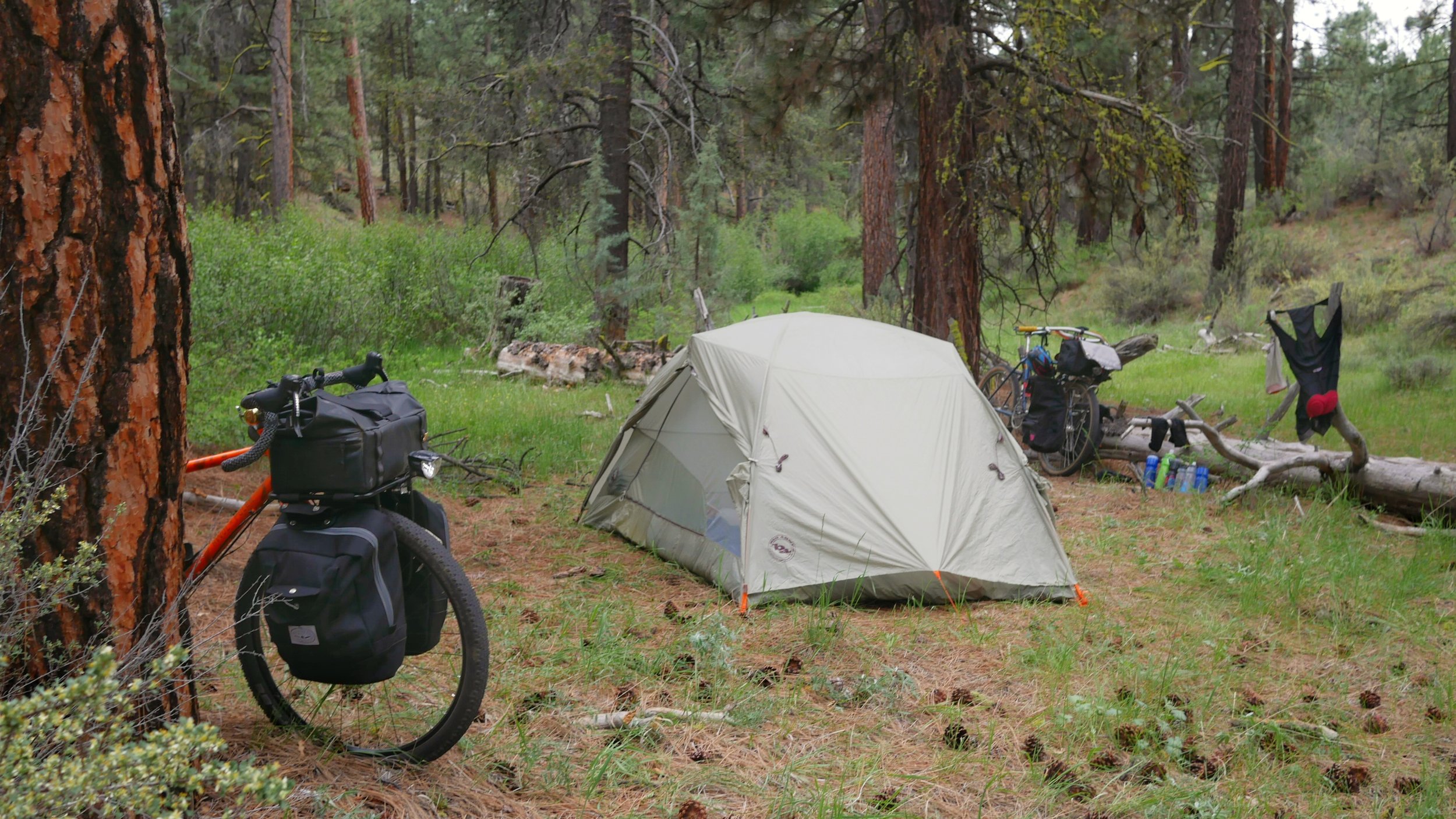
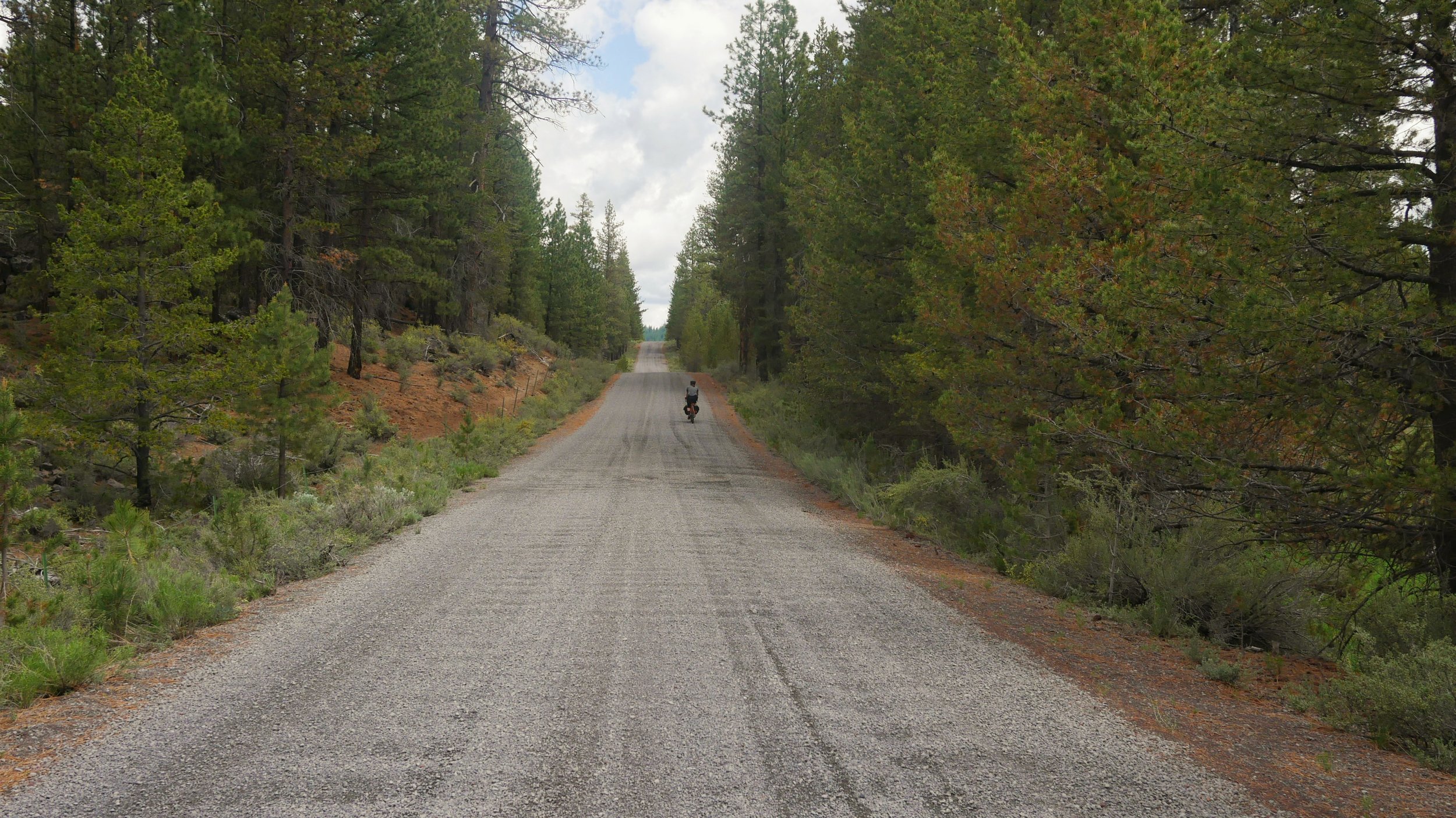
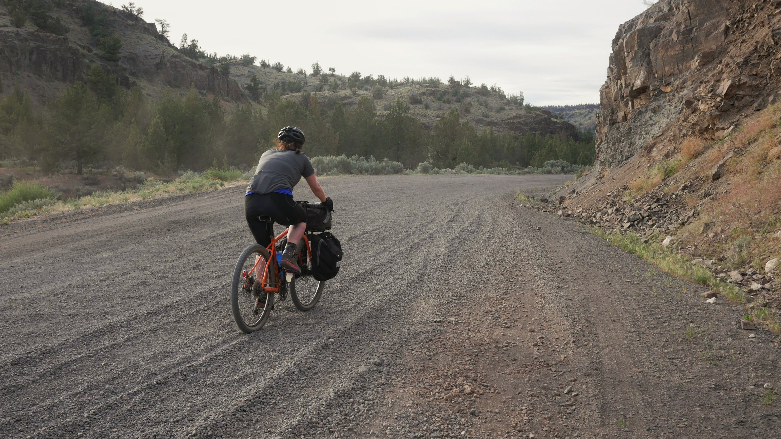
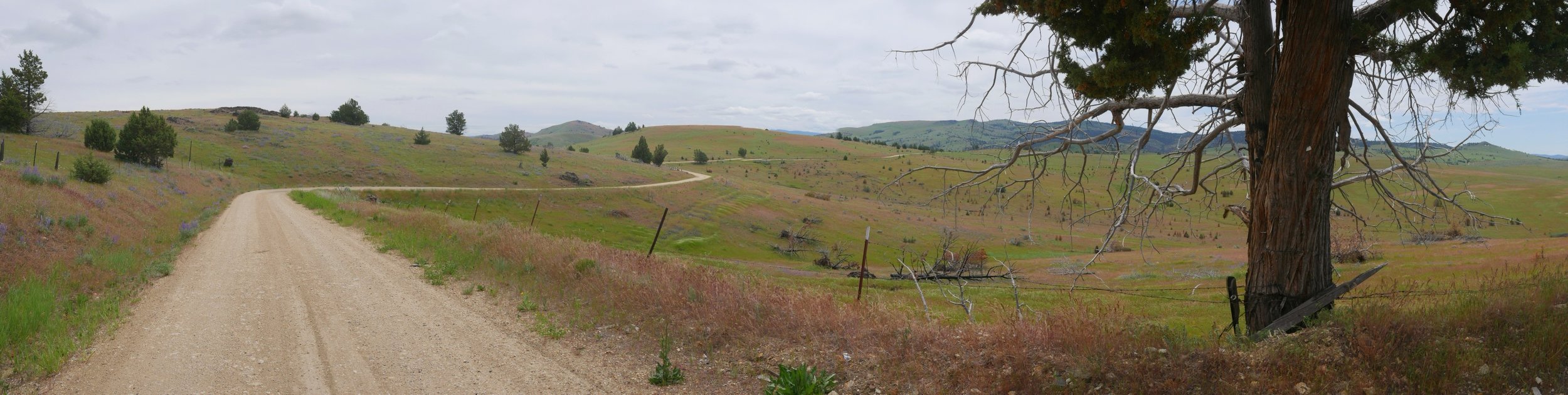
We departed May 31st with our bikes fully loaded for camping. The route leaves Klamath Falls on the OC&E trail which is paved for about the first 10 miles to Olene. It is there were you open your first gate of many along the OC&E trail. The trail follows an old rail-bed for about 70 miles. The grades are never really steep but the gravel can be very loose and rocky in some sections especially on the Woods Line section. We set up camp around 5PM along the Woods Line trail.
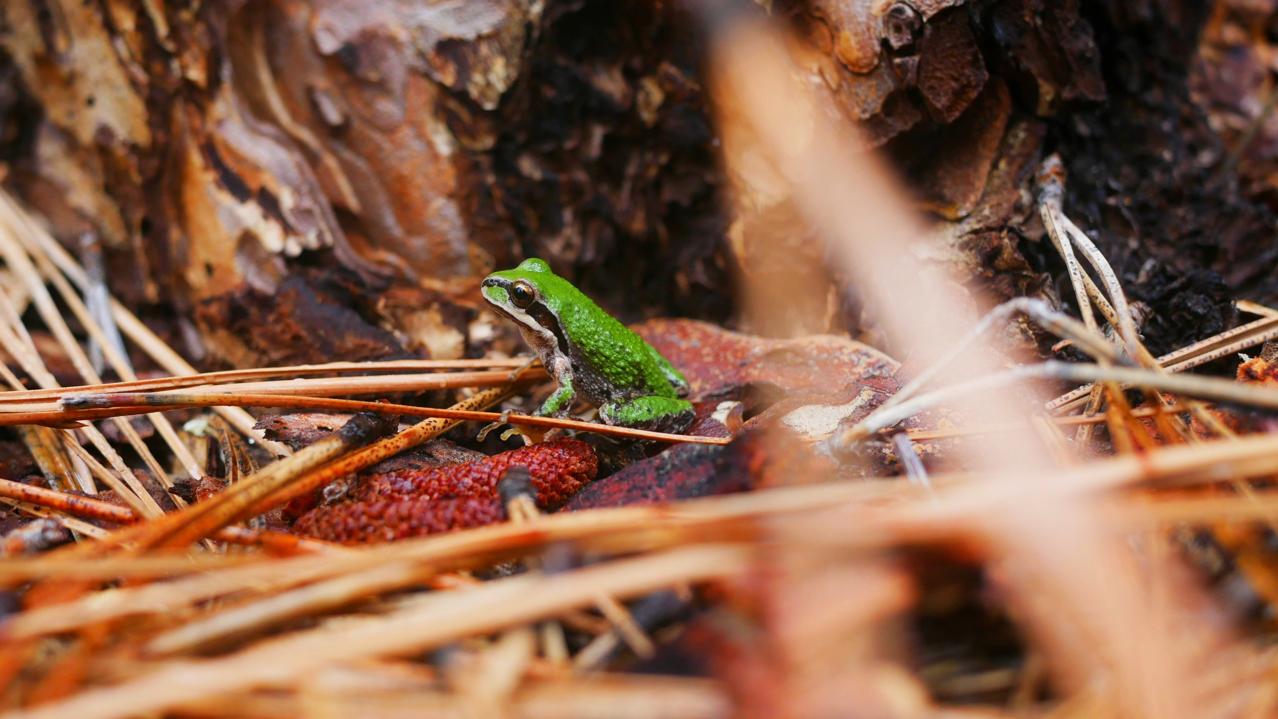
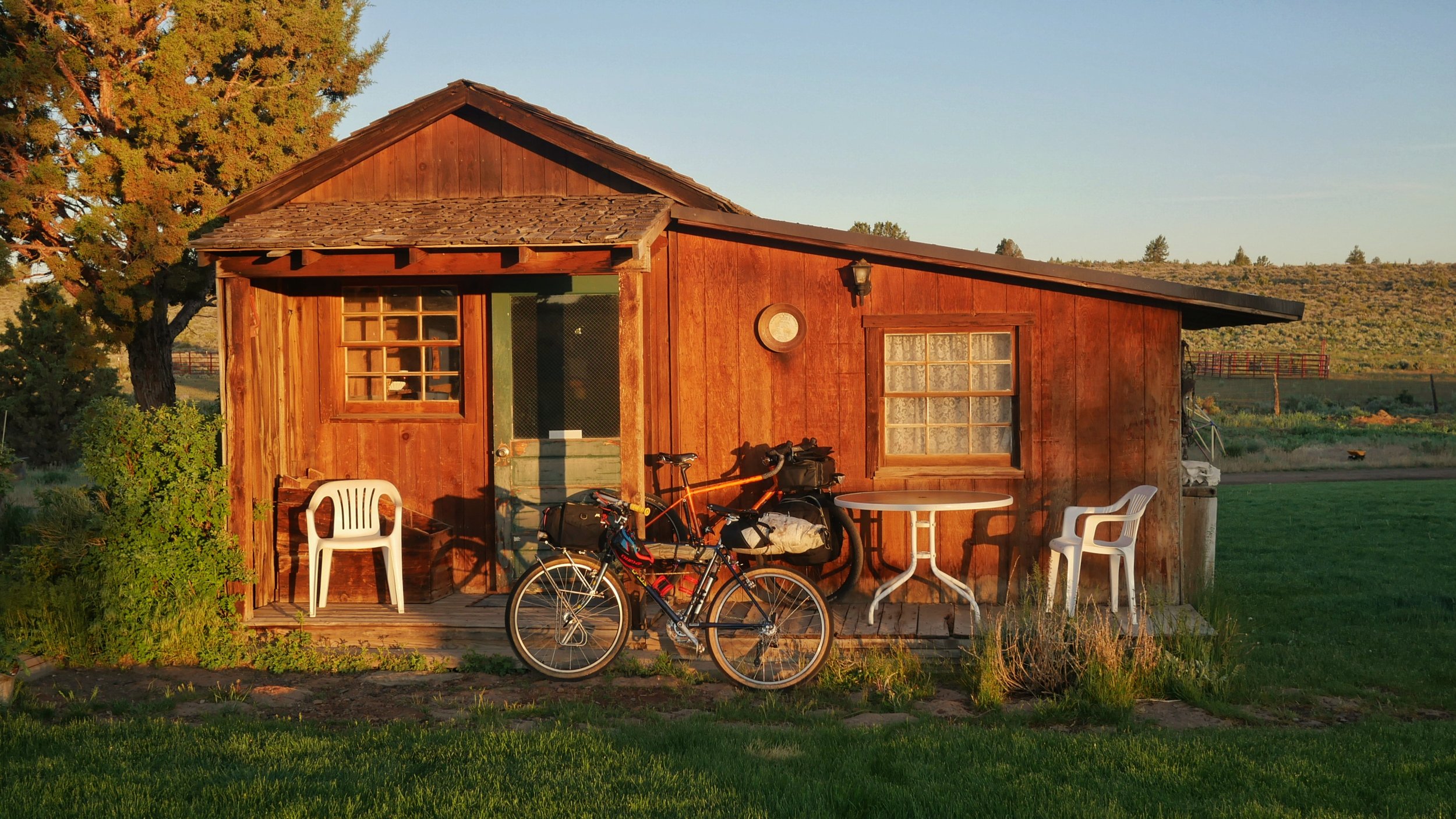
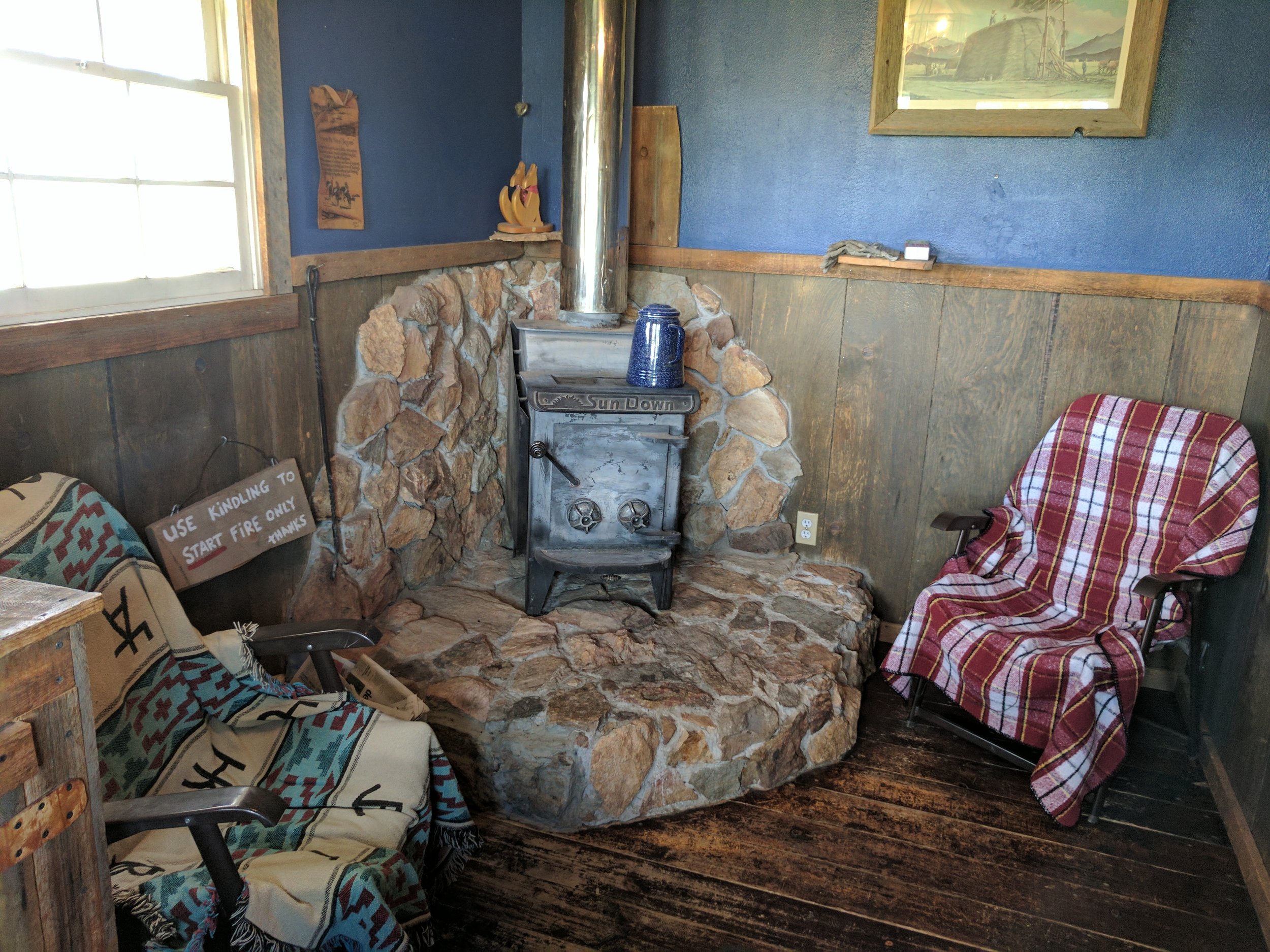
The next morning, we woke up to some rain and a frog friend. We would make our way to the Cowboy Dinner Tree where we made reservations for a cabin a few months earlier. We took much needed showers and enjoyed a big dinner consisting of salad, dinner rolls, hearty soup, 30oz steak and dessert. I ate about half the steak saving the rest for later. The cabin had a freezer so we froze our left overs and saved them for dinner the next day.
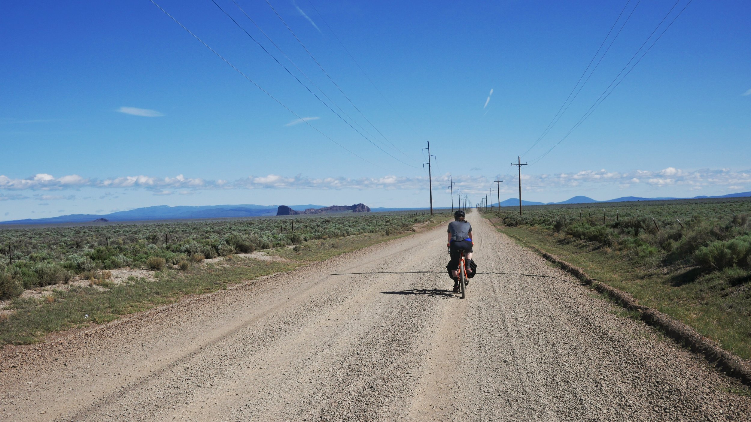
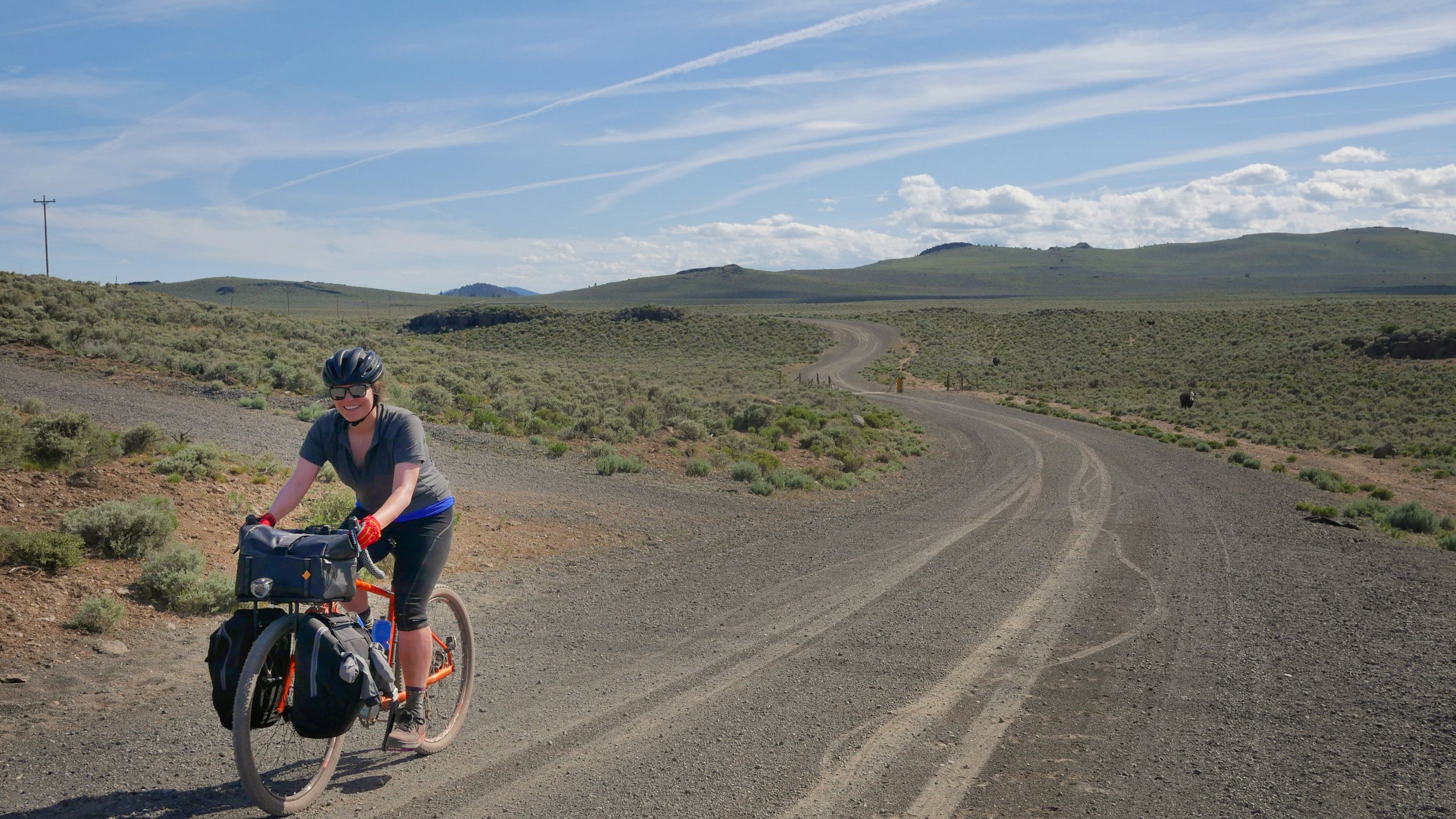

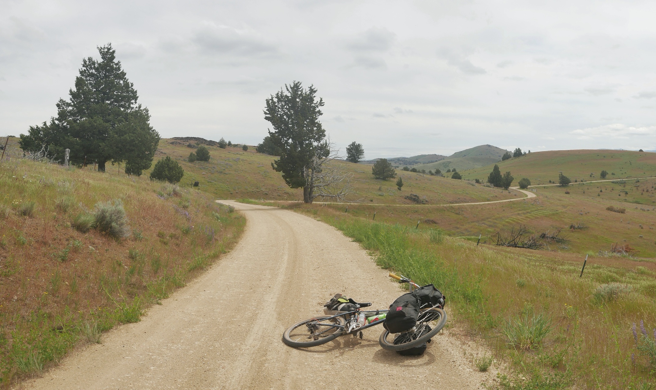
Day 3, we got an early start, we had a long day of riding ahead (over 90 miles). First, we went to the store in Silver Lake to resupply which opened at 7:00 AM. We then headed towards Fort Rock watching it grow bigger as we got closer and then disappear as we rode away. Having done the ride before I knew how hard the section after Fort Rock could be. I wondered how we would fare. The dirt on this section tends to be very loose and almost sand like. All effort pedaling seems to go nowhere as your tires dig into the road. Pedaling with our heads down, eventually we got through it and enjoyed a wonderful descent to Highway 20. By this point we had done 65 miles and the sun was starting to set. We still had just less then 30 miles to camp. Luckily it was mostly downhill. We then got on the Crooked River Highway and descended even more before having to climb again . We camped along the Crooked River.
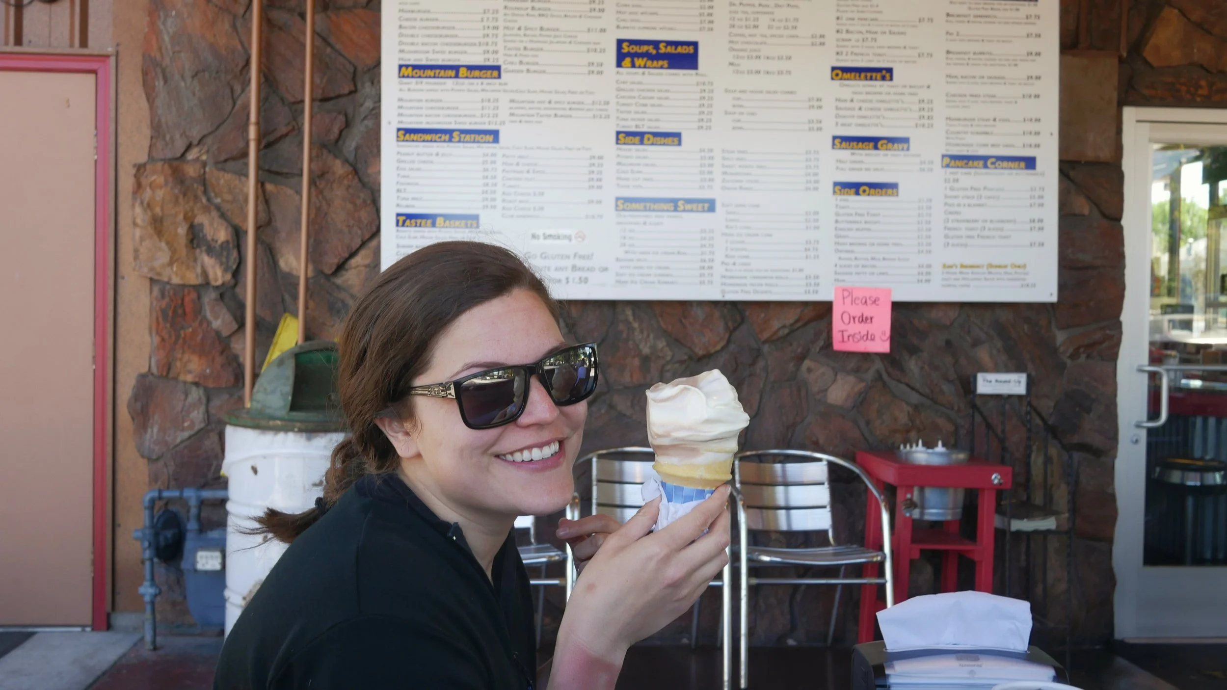
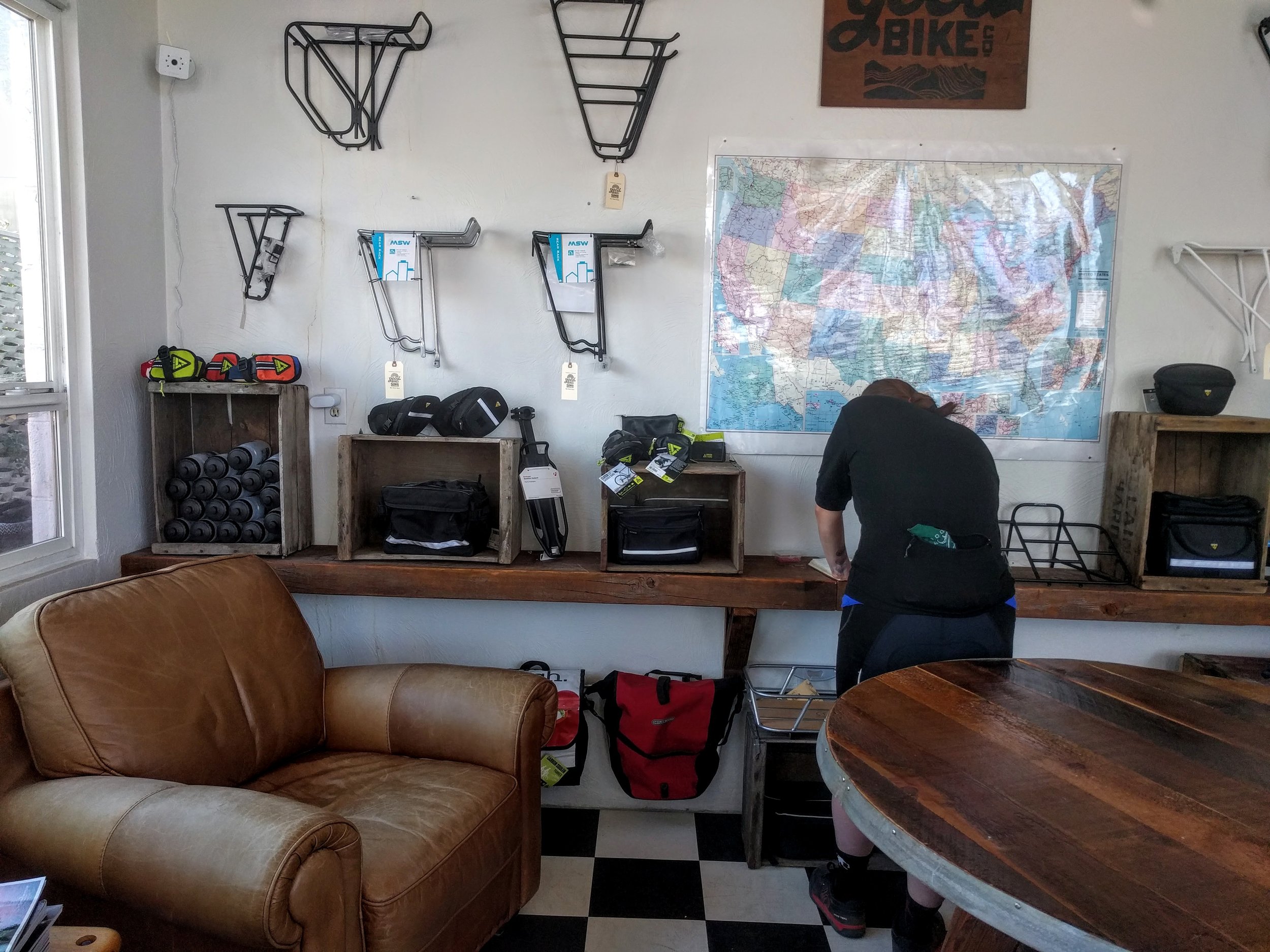
We got a late start the next day we were in no hurry since we had planned on a short day (45 miles). We pulled into Prineville and restocked. We went to the Tastee Treet and got Burgers, fries and ice cream. We refilled our food supplies and enjoyed a beer at the Good Bike Co. Sam’s Bottom Bracket was making noise and they properly torqued it for us. We left town to set up camp somewhere in the Ochocos. It’s a big climb out of Prineville, and all the food we ate seem to burn off quickly. After the long climb you are rewarded with one of the best gravel descents on the route.
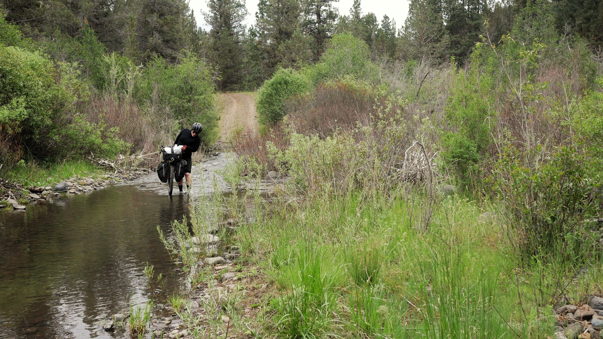
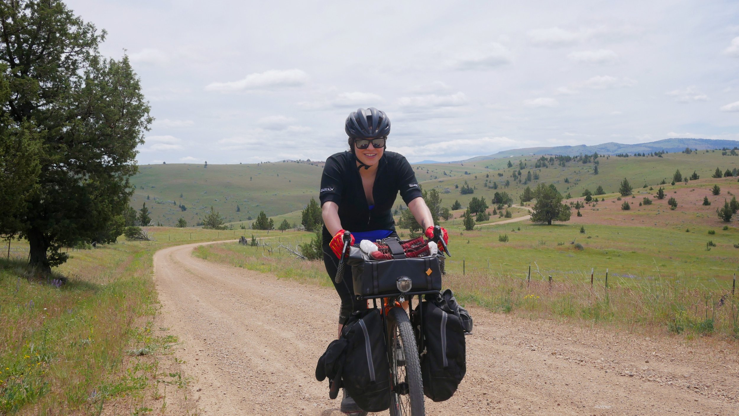
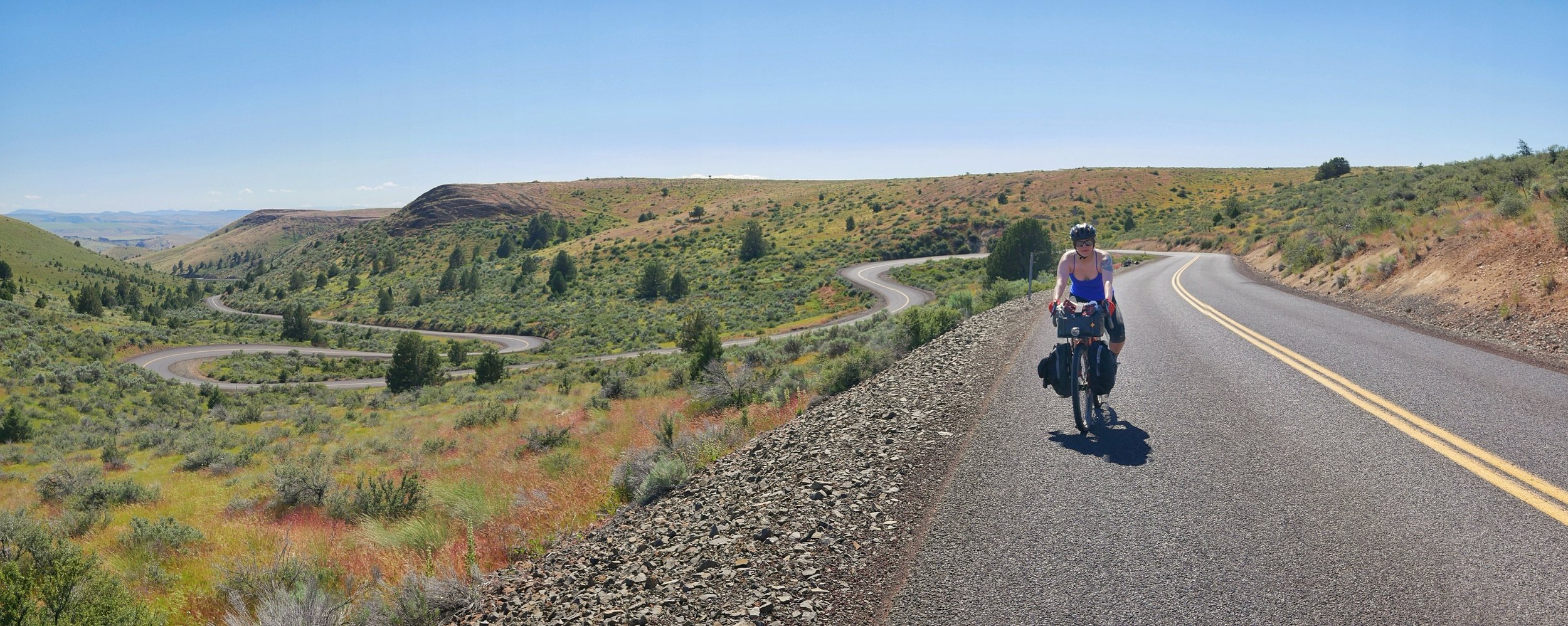
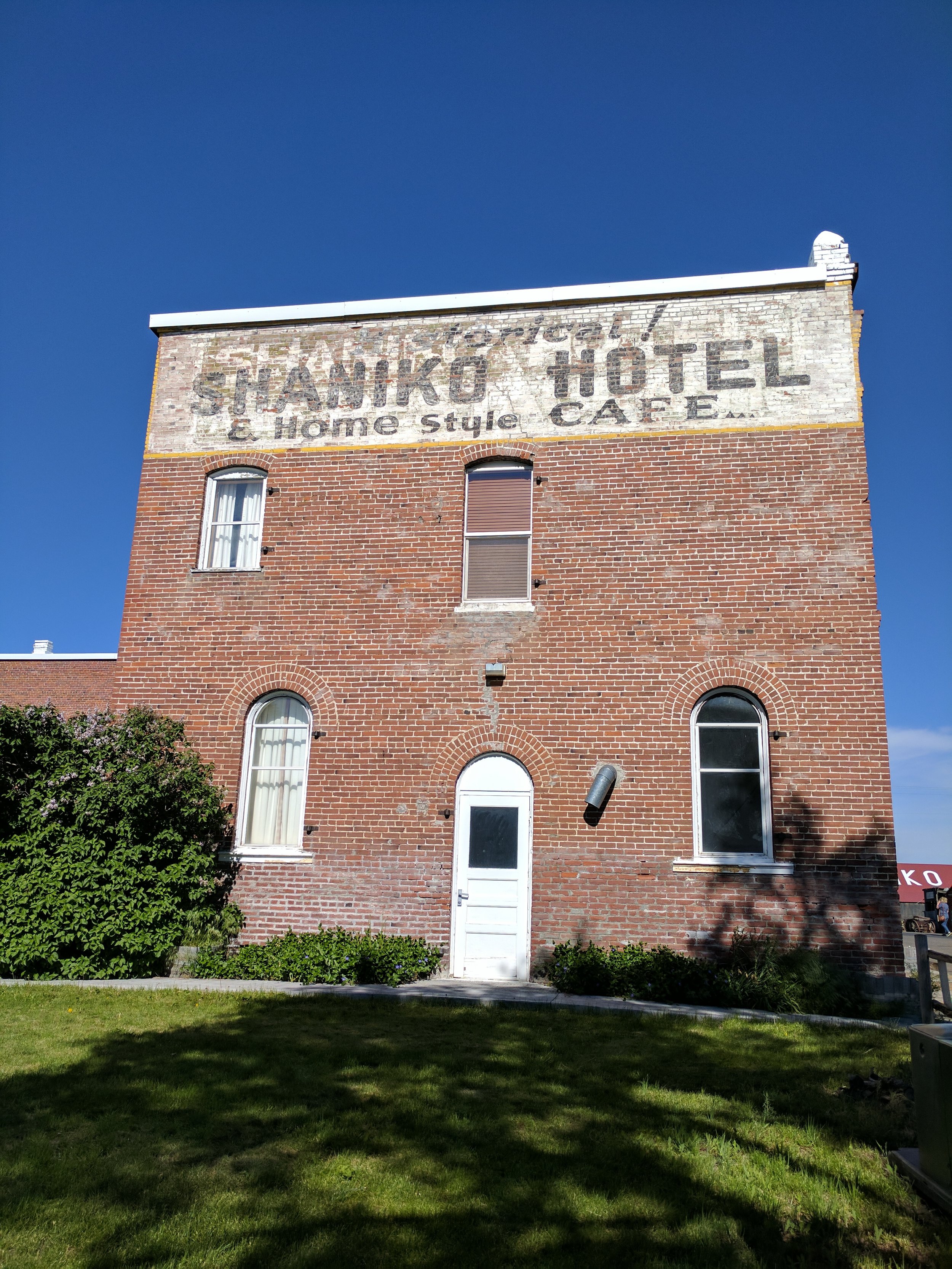
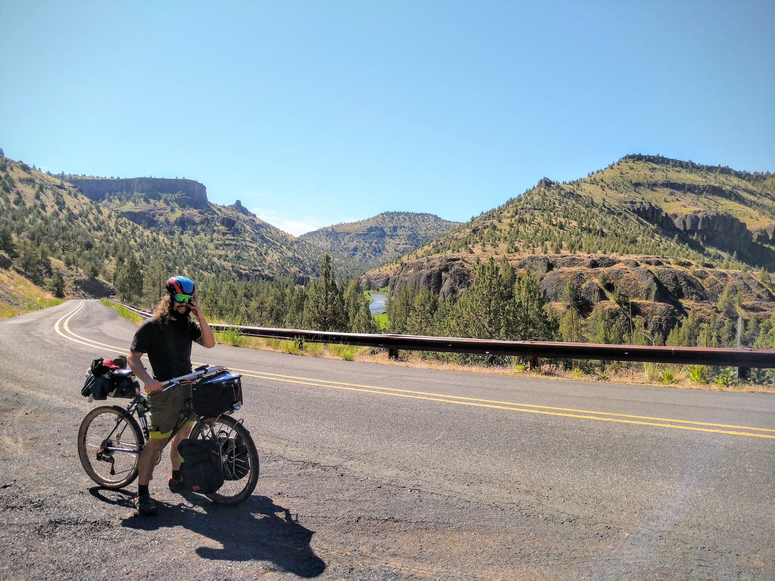
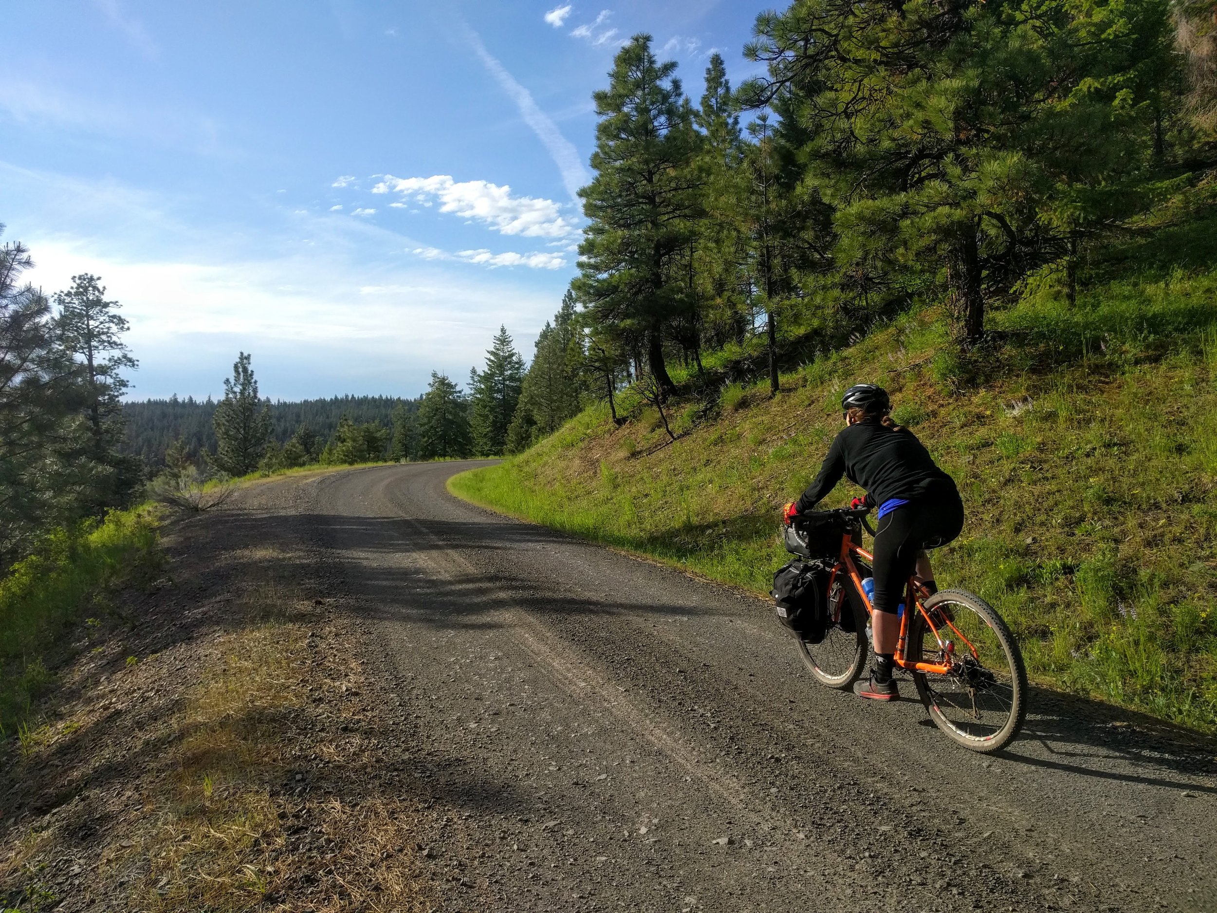
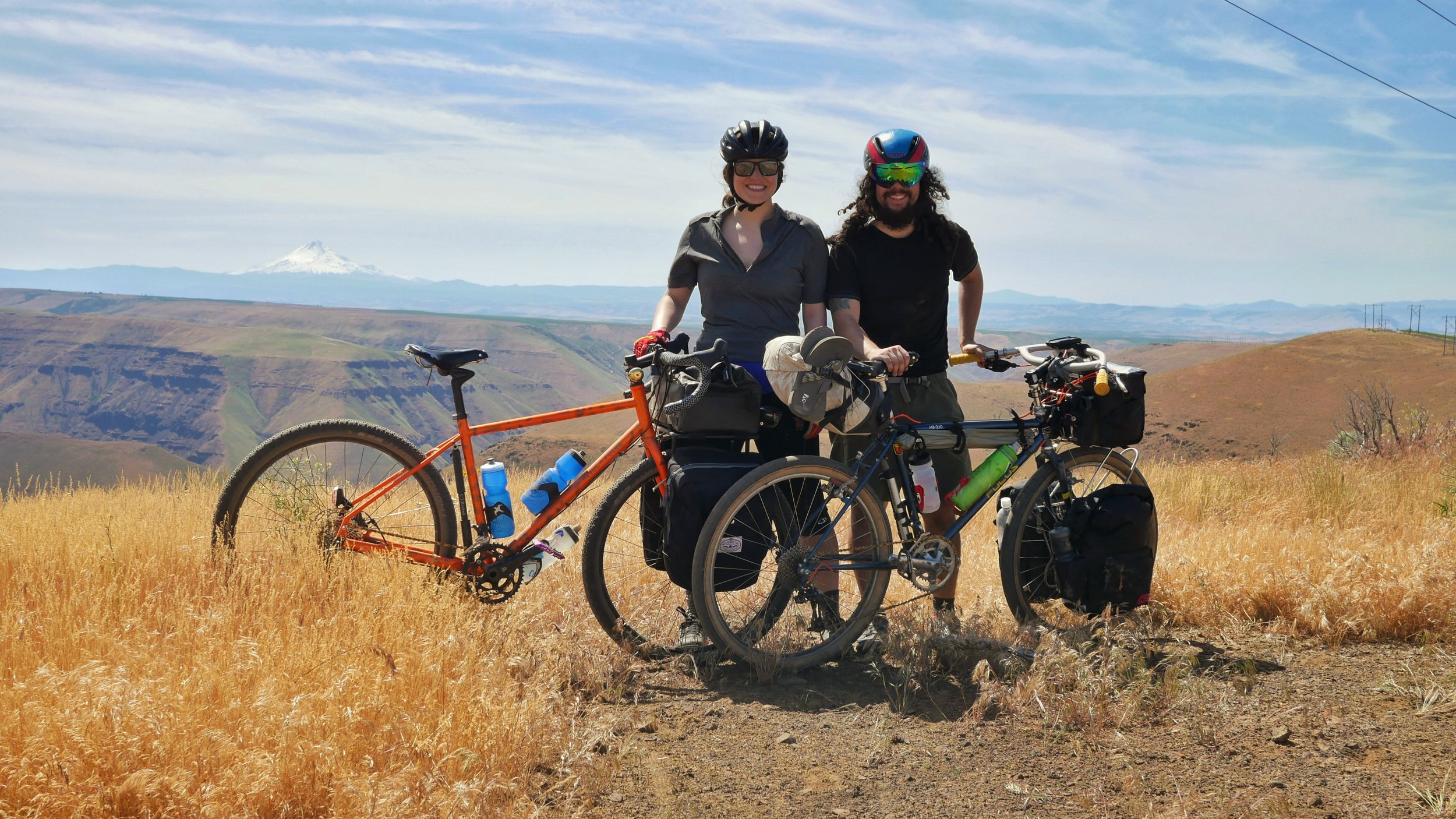
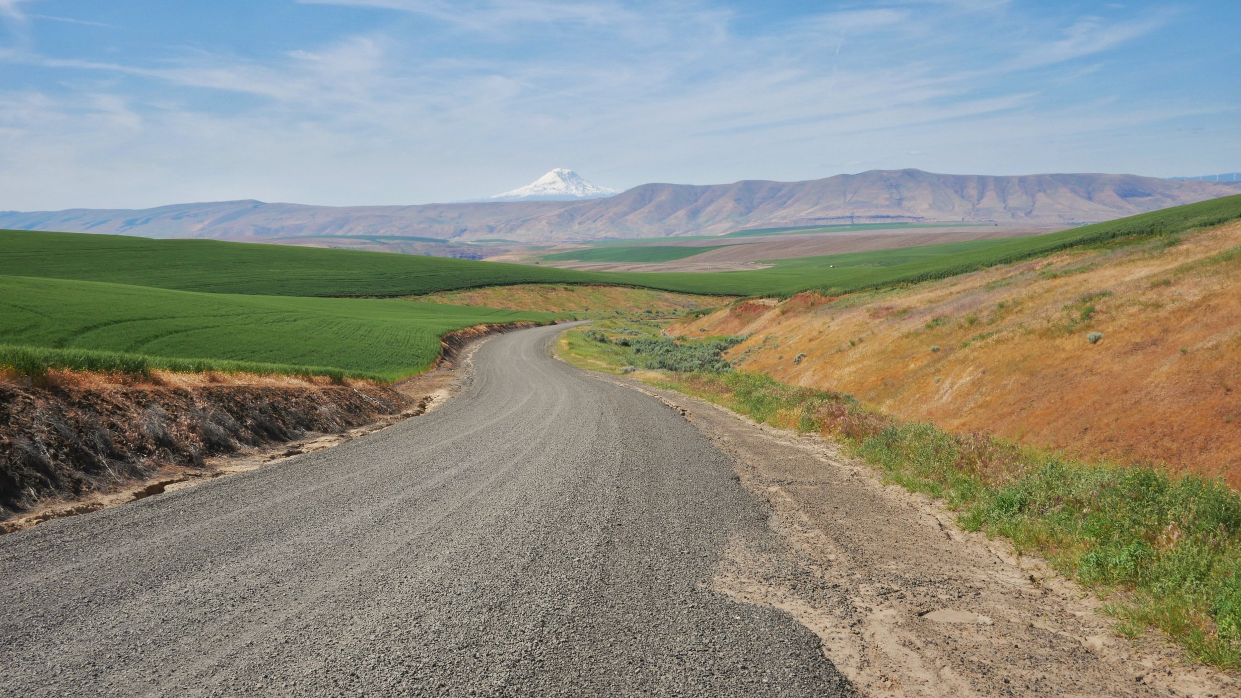
Day 5, we travel through some of the most scenic country on some of the best gravel roads. We followed Trout Creek going through some cold creek crossings. Our feet, socks and shoes were soaked (good thing we had spare socks). We then climbed our way out on Divide Road. The climb there was difficult but the views and scenery made you forget how hard it was. We would then hit pavement on Shaniko-Fossil Highway. This section features one crazy windy road. It was neat reaching the top and seeing how the road switchbacked. We arrived in Shaniko split a banana split and got some supplies at the market. We then set up camp with sounds of the highway.
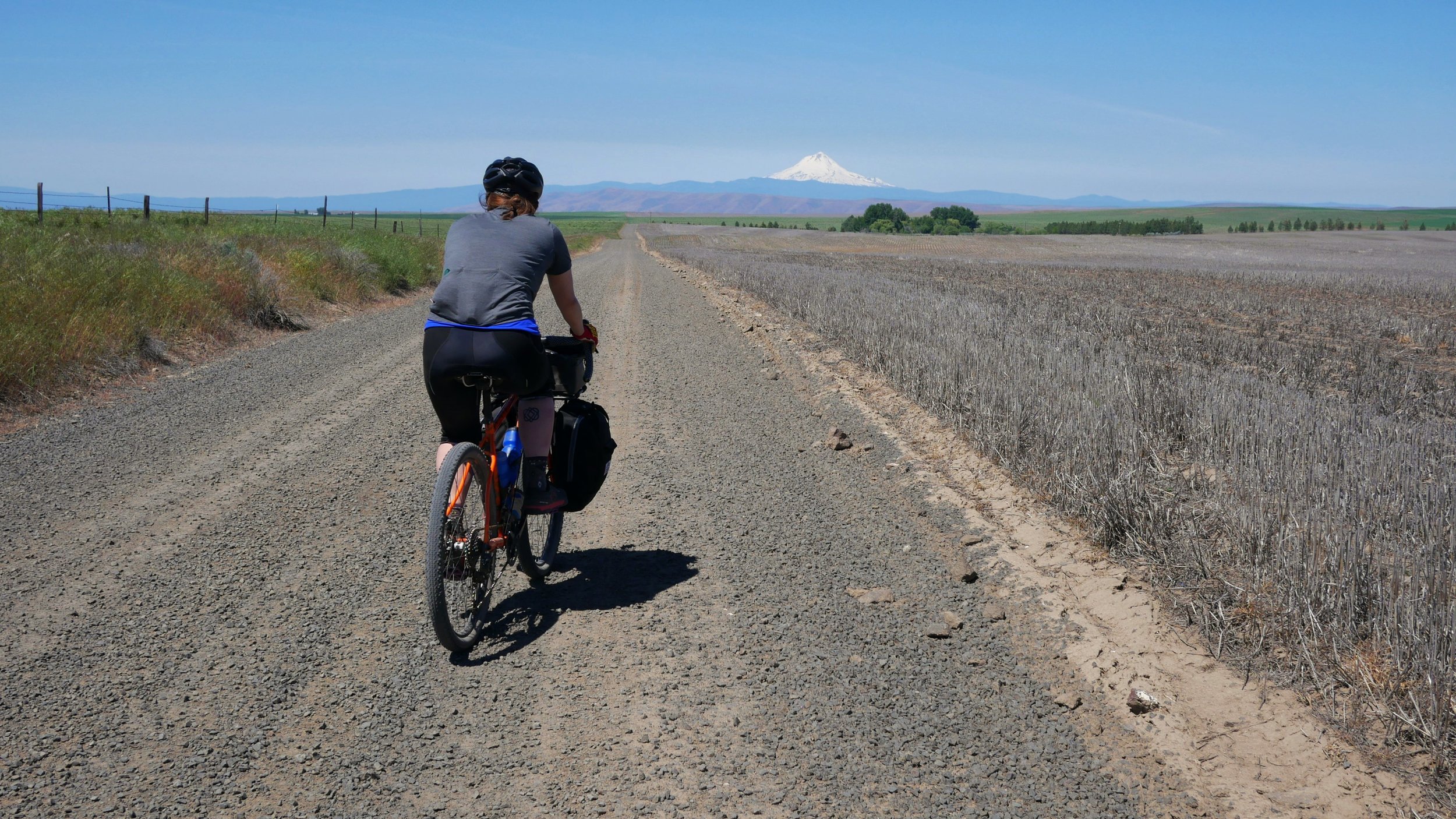
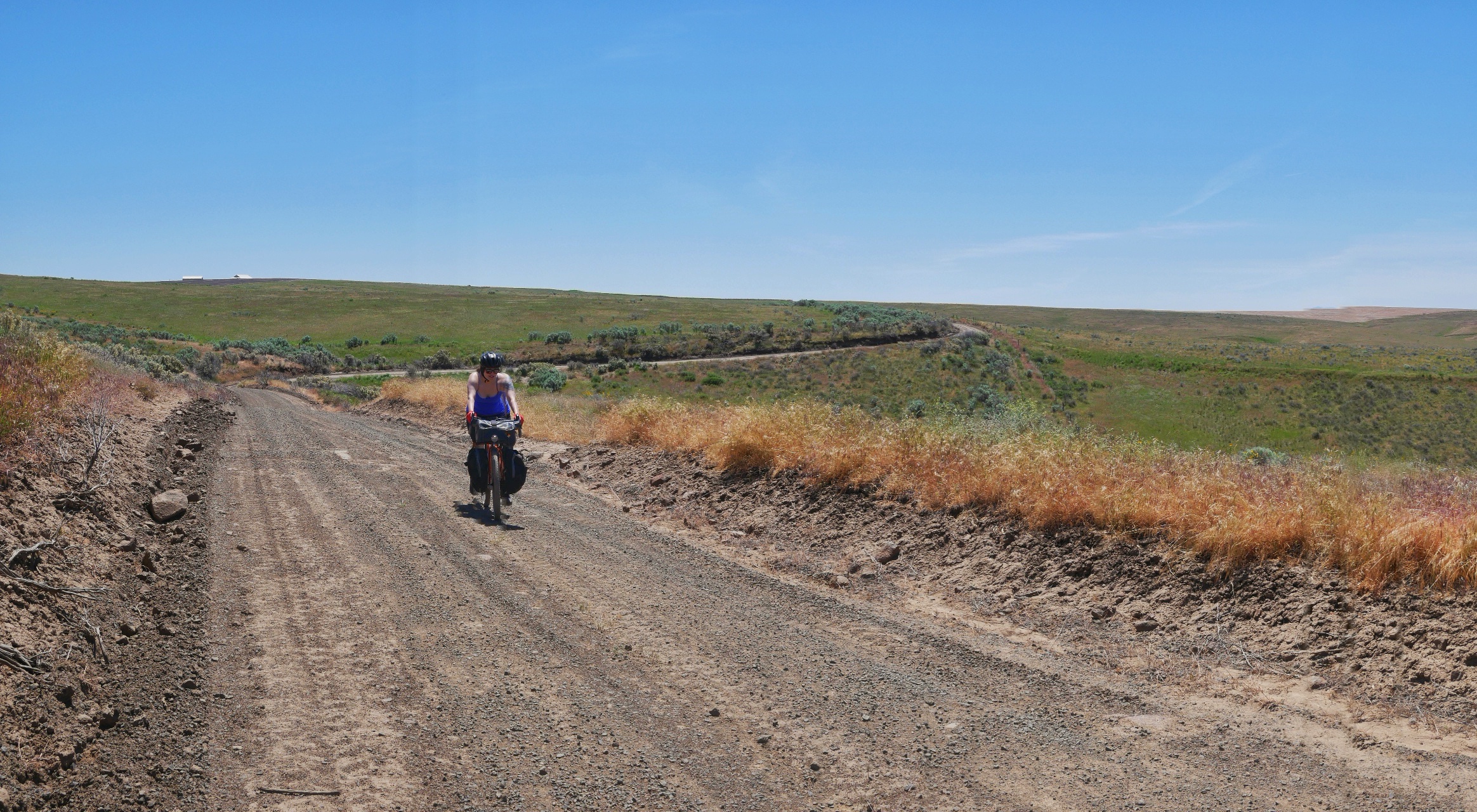

The final day arrived, the end of the ride was near. We left early to hopefully beat the wind in the evening. This last section of the outback features an abundance of gravel rollers and usually winds blasting from all directions. We were fortunate the wind was not blowing hard that day. The rollers were tough, they seem to go on forever, you go up one roller only to see another one. The final ascent is on Gordon Ridge, once at the top you are rewarded with some wonderful views and a descent towards Deschutes River State Park.

Getting back home, the next morning we woke up early (really early, 4:00AM early) and rode Old Moody Rd and 15 Mile Rd to the Dalles. From the Dalles we caught a shuttle that left at 7:00 AM to Hood River and then Portland. From Portland we took the AmTrak back to Klamath Falls.
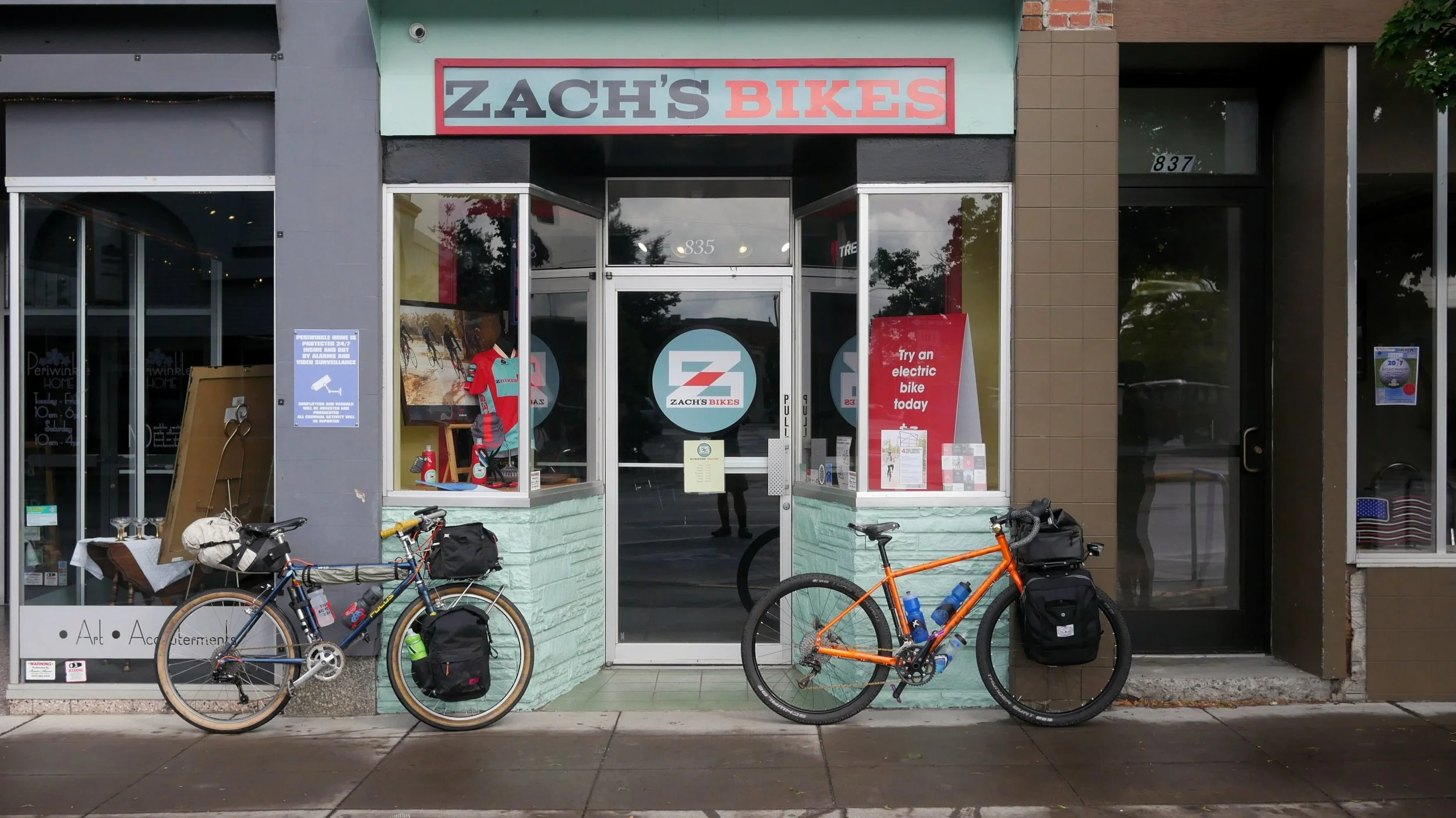
If you have any questions regarding the Oregon Outback or are interested in doing the route. Or if you are interested in touring or bike packing. Feel free to visit the shop or shoot me an email at kyle@zachsbikes.com.